
Where to go
Five places we build routes around.
Not a catalogue of Ireland, and not everything we know. These are the five places we keep coming back to, written out with the time we give each one and how we get between them — so you can see how a route actually gets built.
Plan your journey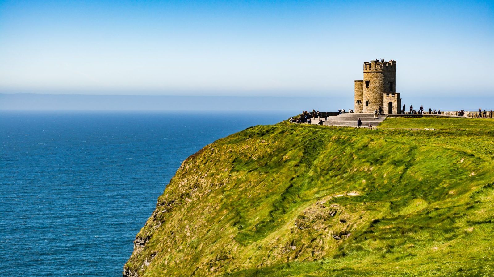
How to read these
Places, not packages.
Each page covers the places we actually use, the time we give them, how long the drive between them is, and what the weather does to the plan. What is not here is a price or a date: those change constantly, and putting them on a web page would only be wrong by the time you read it. What we can give you instead is the thinking behind a route.
The East
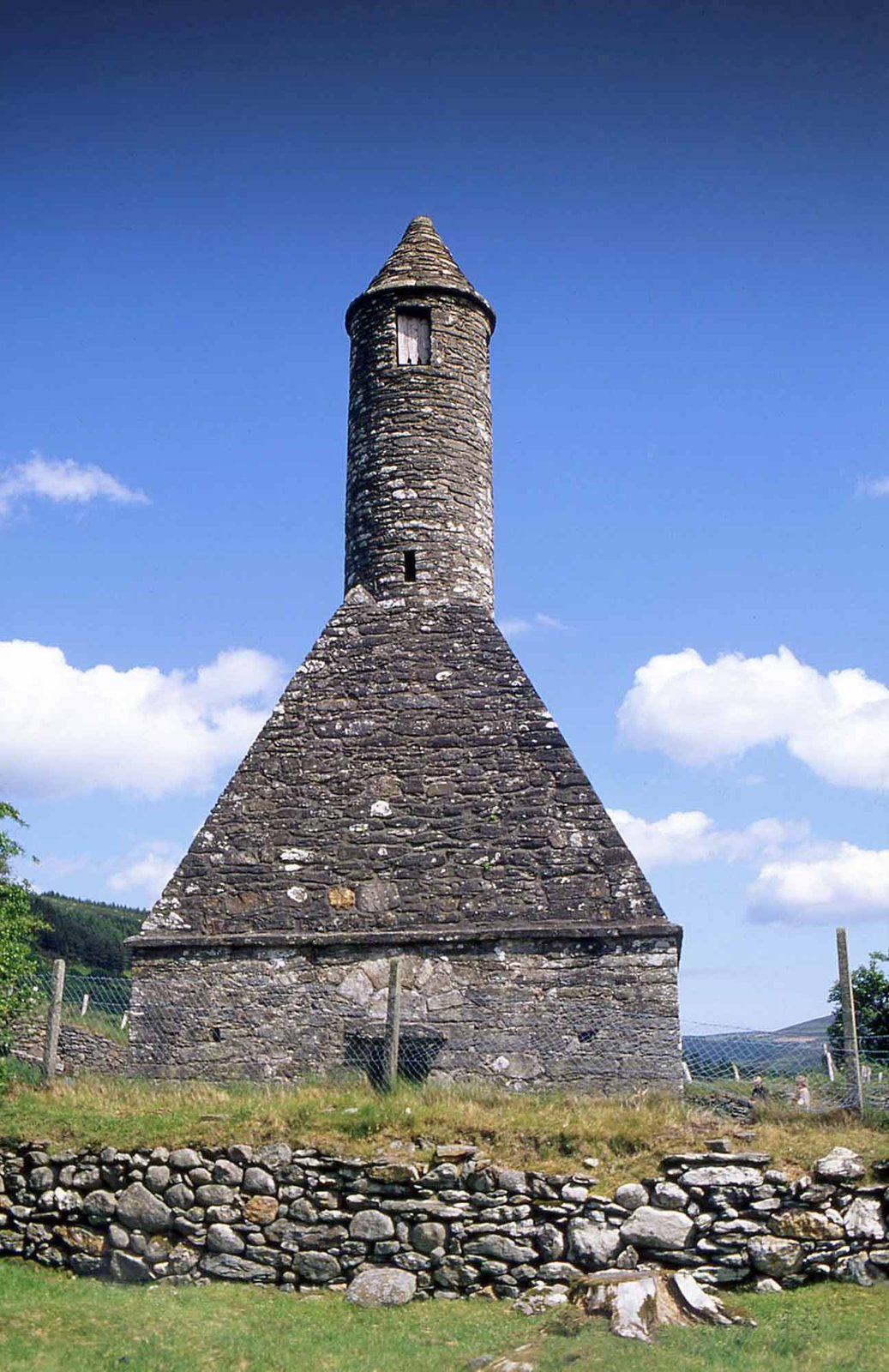
County Wicklow — about ninety minutes south of Dublin, on the road south.
The West Coast
Galway, Connemara and Clare: the west coast, where most of a first trip goes.
County Galway
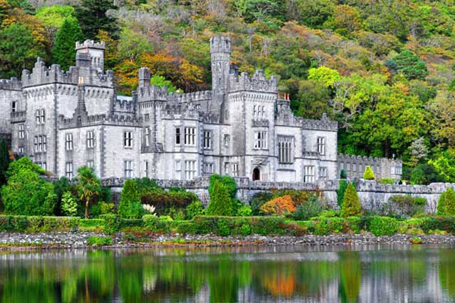
Galway & Connemara
A city of coloured shopfronts on the water's edge, and the mountain and coast country to the west of it.
7 places, with time allowedCounty Clare
County Clare & the Cliffs of Moher
One cliff walk we build a day around, and a county we otherwise drive through on the way to Kerry.
2 places, with time allowedThe South
Kerry and Tipperary — the south-west, and the road west to the coast.
County Kerry
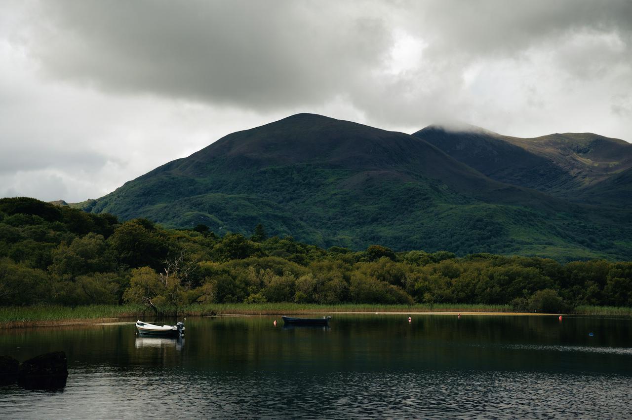
County Kerry
Killarney as a base, the Ring of Kerry as a road rather than a destination, and a peninsula you reach by ferry.
6 places, with time allowed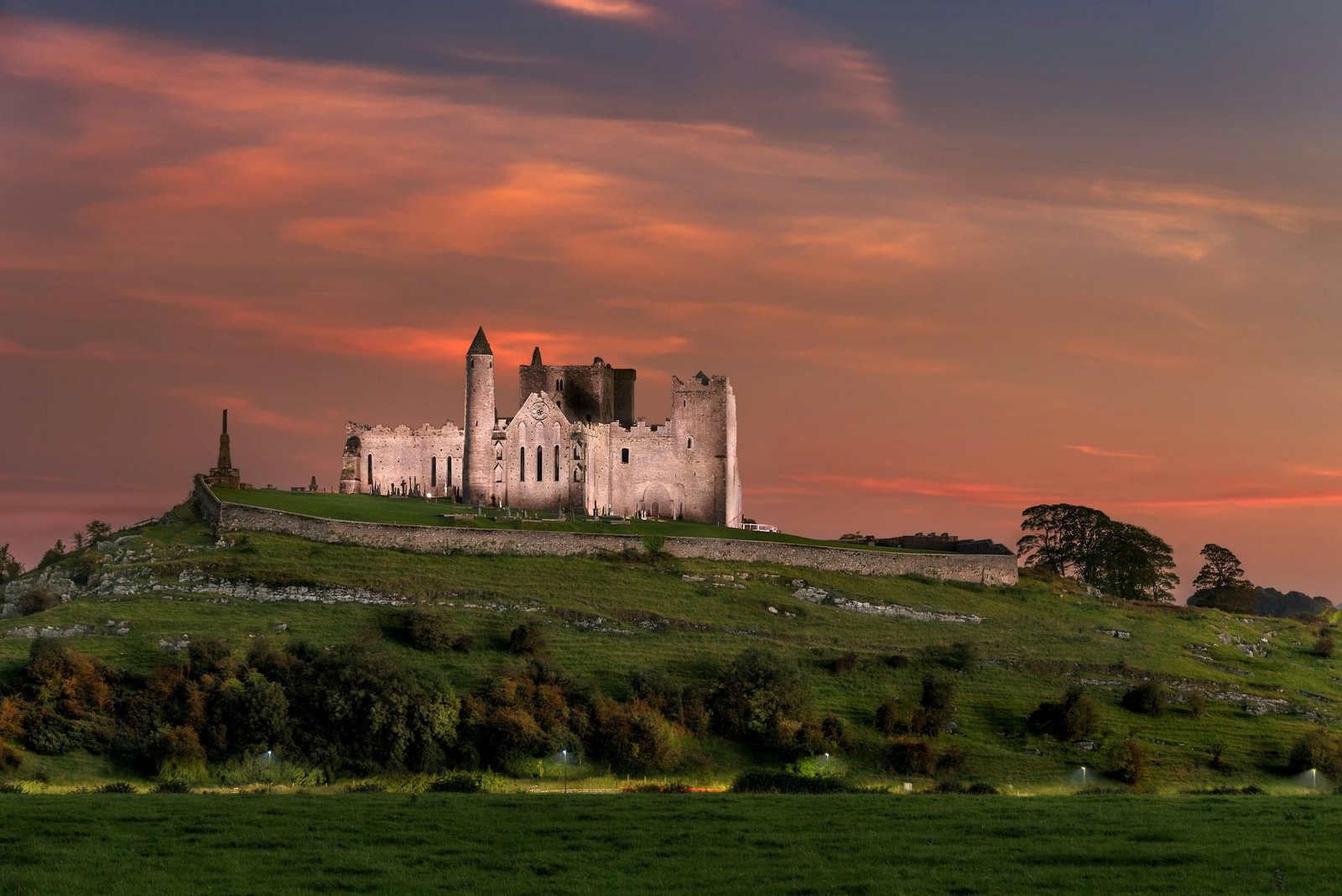
County Tipperary
The Rock of Cashel
A monastic site on a limestone outcrop that anchors almost every route between Dublin and Cork.
2 places, with time allowedPlace guides rather than packages. Access, opening times and site arrangements change — we build the final route around your group and your dates.
None of these are fixed packages.
Every route above is a starting shape. Tell us who is travelling and what the trip has to achieve, and we will rebuild it around you.
Not sure which one
Tell us what kind of Ireland you want.
Tell us who is travelling, why, and when. We will shape the right journey or programme around your needs.
Start planning