County Clare

County Clare & the Cliffs of Moher

Clare is mostly a county you pass through on the coast road, and the Cliffs of Moher are the reason to stop. We build the day around the cliffs rather than the other way round, and use whatever is left of it for the coast.

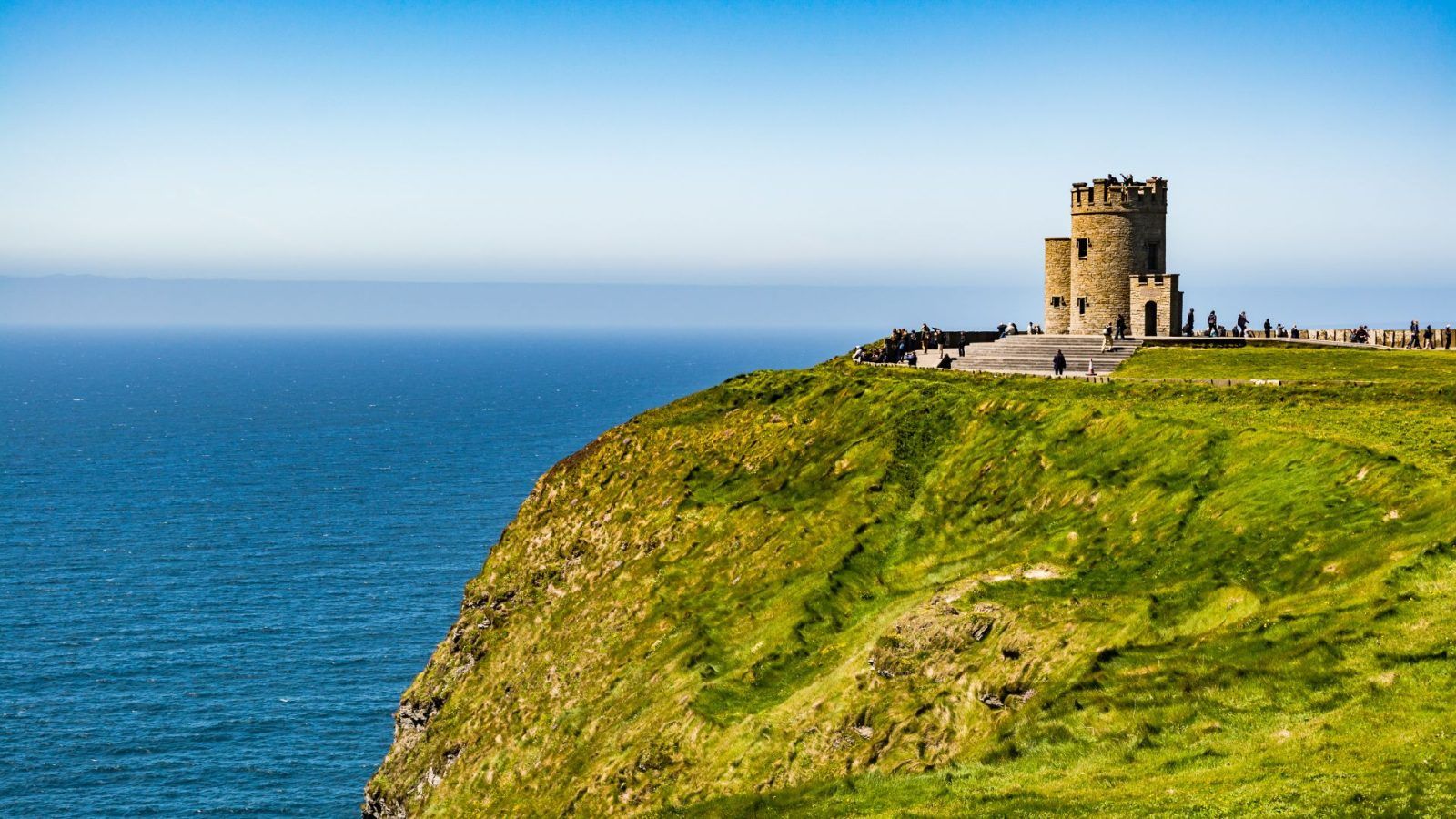
The Cliffs of Moher and O'Brien's tower above the Atlantic

Shown as a place we design programmes around, not a package to buy. Access, opening times and site arrangements change — we build the final route around your group, your dates and your interests.

County

County Clare

Getting there

About an hour and a quarter by road, which is why it works as a stop between Galway and Kerry.

On this page

2 places we actually use, with the time we give each one.

Why we route through it

The cliffs stand 214 metres above the Atlantic, with the Aran Islands and Galway Bay out to the west and north. Forty-five minutes at the viewing area is a standard visit, and it is enough for the height and the sea. We start before nine in the morning, when the car park is still filling and the southern part of the path is empty.

The Burren lies inland from the cliffs and gets mentioned in almost every account of the county, but there is very little here that we can honestly write about it — so we leave it out rather than fill the page. If it matters to your group, we will tell you what we know and what we don't.

What we actually use

The places, and how long we give each

The Cliffs of Moher

45 minutes

Two hundred and fourteen metres of sea cliff — about seven hundred feet — with the Aran Islands out to sea and Galway Bay to the north.

One of the few places on the west coast where the land simply stops, which is why almost every route that crosses Clare is routed through it.

  • The main viewing area
  • Atlantic seabirds on the cliff edge

The coastal path south of the viewing area

Walking south from the main viewing platform reaches more open cliff with fewer people in it. This is where we go when the group wants an hour of walking rather than a photograph.

Getting there

From Galway

About an hour and a quarter by road, which is why it works as a stop between Galway and Kerry.

From Killarney

About two hours by road along the coast.

On the ground

We walk rather than coach on the path. The cliff edge is not somewhere to bring a large vehicle to.

When to go

Start early

Before nine in the morning the southern path is empty and the light is on the sea rather than behind you.

Wind

The exposure at the cliffs is enough that we tell people to pack a windproof layer even in August. The path is usually open but the wind is a factor in how long the group stays out.

Worth knowing

Weather

Visibility decides the day. On a clear day the islands are visible; in low cloud the cliffs are still worth it but the view closes in. We keep the day flexible for this.

Mobility

The main viewing area is reached on a level path from the car park. The coastal path beyond it is uneven and exposed — tell us what the group can manage.

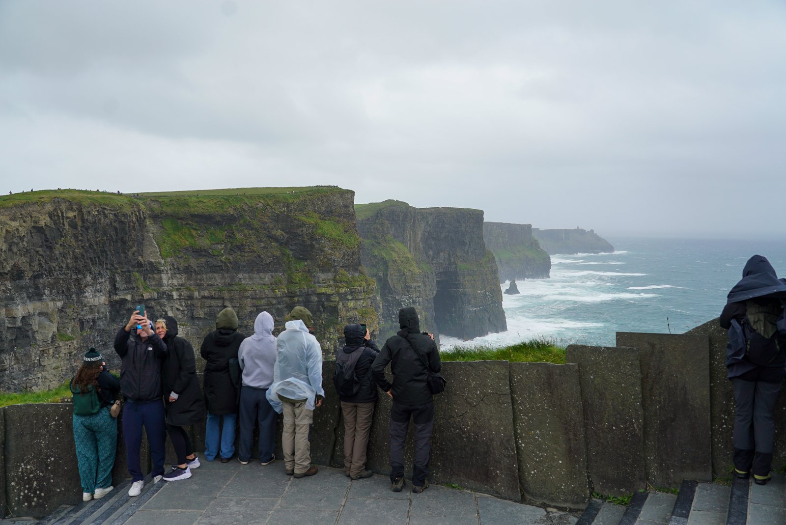
Visitors at a viewing platform looking along a line of sea cliffs on a grey day
The viewing area on an overcast morning — which is when you get the platform to yourself.
Where the five places sit in IrelandA schematic plot on a grid, not a map. Glendalough and County Wicklow sit in the east; Galway and Connemara, County Clare and County Kerry sit along the west and south-west; the Rock of Cashel sits inland to the south-east of those.NEWicklowGalwayClareKerryTipperarySchematic · relative positions only
Plotted from each place's coordinates. This is a schematic, not a map — it shows how the five sit relative to each other, and the road distances are on each page.

Build a route around it

Tell us which of these fits.

Tell us who is travelling, why, and when. We will shape the right journey or programme around your needs.

Start planning